
“Survey-grade” is not a unit. Neither is “centimeter-level” or “highly accurate.” None of them can be tested, which is why none of them belong in a deliverable someone else will measure from.
The ASPRS Positional Accuracy Standards for Digital Geospatial Data, Edition 2 (2024) exist to replace those phrases with a statement you can check. If you buy aerial mapping, construction progress data, or site exhibits, this is the document that separates a claim from a number.
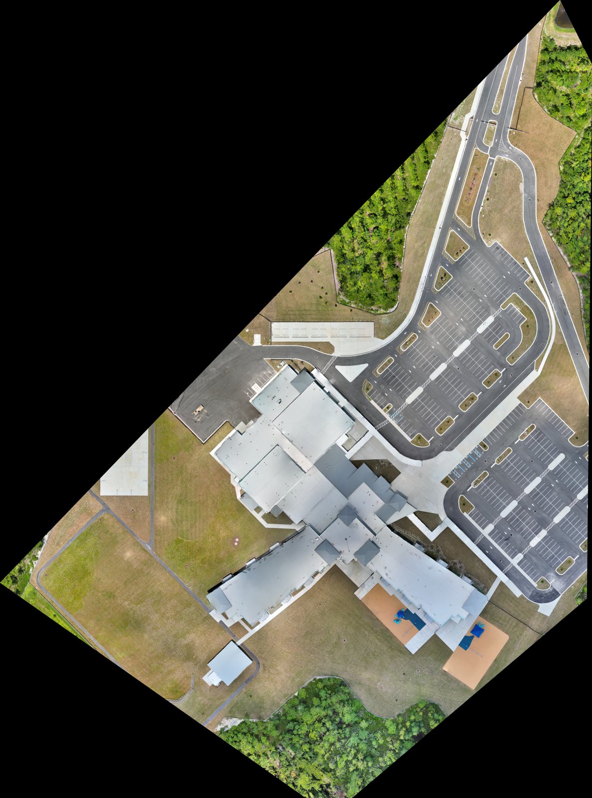
What the standard actually asks for
ASPRS does not certify a drone, a camera, or a software package. It defines how to report the positional accuracy of the data product itself, and how to test that report.
In practice that means three things.
A stated accuracy. Horizontal and vertical accuracy are reported as RMSE values, in the units the product is delivered in. Horizontal and vertical are separate numbers, because they behave differently. Photogrammetry usually holds horizontal tighter than vertical, and a client who needs volumes or grade cares about the vertical one.
Independent checkpoints. The stated accuracy has to be verified against ground points that were not used to build the solution. Edition 2 raised the minimum checkpoint count compared with the 2014 version, and it expects the checkpoints themselves to be measured to a tighter tolerance than the product they are testing.
A report that shows the work. Checkpoint residuals, how control was established, and how the survey was processed all belong with the deliverable, not in a folder the client has to ask for.
Held-out checkpoints are the whole test
Ground control points feed the adjustment. They pull the model into the coordinate system. Checkpoints do the opposite job. They are surveyed, deliberately kept out of the adjustment, and then compared with what the model says is at that location.
Feed a point into the bundle adjustment and then “check” against it, and the residual will look excellent. It proves the math is internally consistent. It says nothing about what a PM will find when they measure a slab edge in the field.
This is the first thing I look for when I read someone else’s mapping deliverable. If the report says “RTK-enabled, centimeter accuracy” and shows no checkpoint table, there is no accuracy statement. There is a feature list.
RTK helps. It does not replace the test.
Every CT Aero mapping sortie flies with RTK positioning on the aircraft, corrected from a known reference. That tightens the camera positions and reduces how much ground control a site needs.
It does not remove the need to verify. Corrections can drop out mid-flight. A reference can be set up over a bad coordinate. A processing option can quietly re-weight the solution. Checkpoints are how you find out whether any of that happened, before the client does.
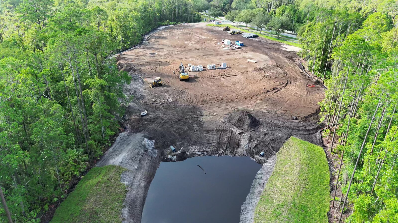
What to look for in a report
A short list a project manager can apply without knowing photogrammetry:
- The standard is named, with the edition. “ASPRS 2024, Edition 2” is a claim. “ASPRS compliant” is not.
- Horizontal and vertical are reported separately, each as an RMSE with units.
- A checkpoint table is included, showing the count, the residuals, and a statement that the points were not used in the adjustment.
- Control and reference are documented: what station or network corrected the aircraft, and how ground points were established.
- The accuracy statement matches the use. A product that is adequate for progress monitoring may not be adequate for a stamped quantity takeoff. The report should say which.
If a vendor cannot produce these on request, the quote you are comparing is for a different product than the one you think you are buying.
Standards and chain of custody
The accuracy statement is one link in a record. Part 107 flight logs, the RTK reference and control layout, held-out checkpoint results, and the processing lineage from raw frames to finished product should all tie to the same sortie. When a deliverable may end up as an exhibit, that record is what supports authentication under FRE 901/902. It is far easier to build while the mission is in progress than to reconstruct afterward.
Takeaway
Ask for the class, the edition, and the checkpoint table. If the answer is an adjective, you are looking at a picture, not a survey.